

•Filip Premuš• 23 min read
Games
Halloween: The Game maps are where IllFonic's 1v4 horror game feels most like John Carpenter's film. All four launch locations sit inside 1978 Haddonfield, Illinois: Haddonfield Heights, East Haddonfield, Orange Grove Estates, and Haddonfield Town Center. Each one borrows landmarks from the movie, and each one changes how Michael hunts and how civilians run.
Halloween: The Game launched on September 8, 2026, for PS5, Xbox Series X|S, and PC. In our Halloween: The Game review, the map section is where we credited IllFonic's period accuracy, and this guide picks up from there.
Below, you'll find how each map plays, which film landmarks it holds, and where the escape routes stack up.
Four maps at launch, all set in 1978 Haddonfield, with matches of about 20 minutes.
Haddonfield Heights holds the Strode and Myers houses, plus the most storm cellars.
East Haddonfield is open farmland with a single mapped gate.
Orange Grove Estates adds multi-story homes and the most car spawns.
Haddonfield Town Center is the brightest map, and its lighting cuts down Shape Jump routes.
Halloween: The Game escape locations are randomized, so learn the zones instead of one route.
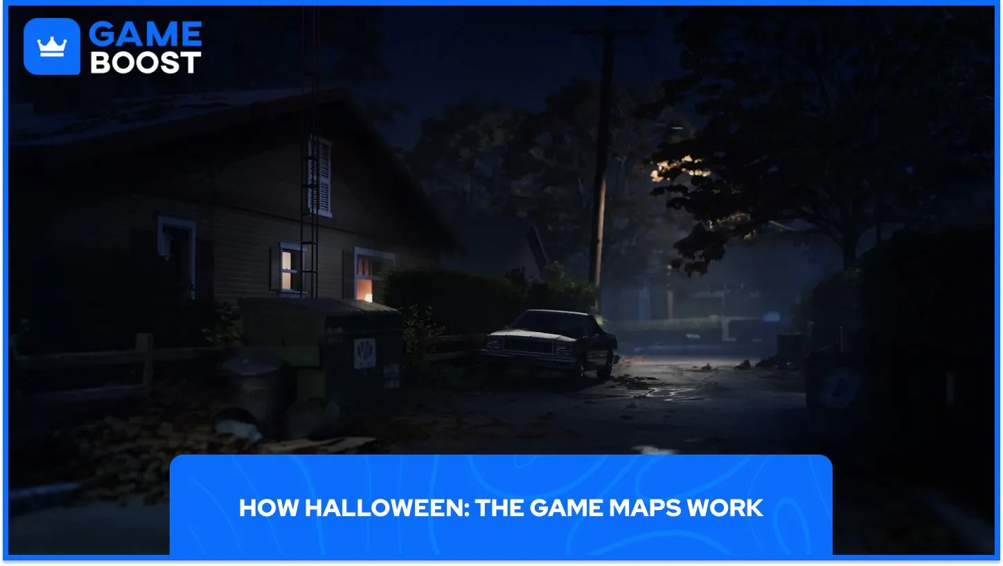
Every match drops one Michael Myers and four civilians onto one of the four maps. Civilians scavenge for supplies, lead AI residents to safety and hunt for a way out. Haddonfield is full of those residents going about their evening. Three of them are special targets, and saving those pays the most XP.
The first of three standard exits, a storm cellar, needs an escape key or bolt cutters, plus a melee weapon if it's boarded up. A gated fence also asks for a fuse, and a sedan needs a repair kit, a gas can and the sedan key. Calling the police from a phone adds police vehicle escapes, which don't depend on map spawns.
Community map guides have counted the potential exit spawns on every map. Treat the numbers as a heat map, since the game randomizes which exits are live in any given match.
Map | Setting | Film landmarks | Cellars | Gates | Cars |
|---|---|---|---|---|---|
Haddonfield Heights | Family neighborhood | Strode house, Myers house, Lampkin Lane | 8 | 3 | 4 |
East Haddonfield | Rural outskirts | Rabbit in Red Lounge, Phelps Garage | 5 | 1 | 4 |
Orange Grove Estates | Upscale suburb | Doyle and Wallace residences | 4 | 3 | 5 |
Haddonfield Town Center | Downtown | Nichols Hardware | 3 | 1 | 4 |
IllFonic revealed Haddonfield Heights first, at the PC Gaming Show in December 2025. It's a quiet neighborhood under the water tower, holding the Strode house, the abandoned Myers house and Lampkin Lane. As Michael, walking these streets feels like being on the film set.
The official locations page ties the neighborhood to the horror of 1963, with the nightmare returning 15 years later. That's the year of Judith Myers' murder, which opens the 1978 film, and Lampkin Lane is the street fans know as the Myers house address.
Hedges, side streets, hallways and backyards break the map into tight pockets. At the reveal, IllFonic design director Jordan Mathewson said every hedge, hallway and backyard was built to heighten suspense and reward clever play. Civilians get the best safety net here: community guides list eight storm cellars, three gates and four cars.
East Haddonfield moves the action to the rural outskirts, where Michael starts his trip home after escaping Smith's Grove Sanitarium. The landmarks are The Rabbit in Red Lounge, a biker bar, along with Phelps Garage and the Midwest Feed Company. Both names come from the film: Marion Chambers lights her cigarettes with a Rabbit in Red matchbook, and Loomis finds an abandoned Phelps Garage truck on Michael's trail.
Mathewson's PlayStation Blog post describes a grain mill with silos and storage areas, plus farmland, highways and train tracks. That openness gives civilians several paths toward an exit, and every one of them crosses ground Michael can watch.
We found the wide gaps between buildings leave civilians exposed the moment they run. Move in short hops from cover to cover and search the mill interiors for supplies. With only one mapped gate, a sedan or a storm cellar is the likelier way out.
Orange Grove Estates is the upscale suburb, built from multi-story homes, detached garages, balconies and a neighborhood playground. The Doyle and Wallace residences are its landmarks. In the film, Laurie babysits Tommy Doyle and Annie watches Lindsey Wallace across the street, and Carpenter shot both houses on Orange Grove Avenue in Hollywood.
A civilian can break line of sight by taking the stairs, and Michael has to choose between following inside or cutting them off in the yard. The developers say the open layout reshapes how players move between houses and widens the lines of sight, so crossing a lawn carries real risk.
Exits are generous. Community guides count five car spawns, the most on any map, plus three gates and four cellars. Plan around a sedan first on this map.
Haddonfield Town Center is the downtown map, built around Nichols Hardware, the store where Michael completes his transformation. In the film, a mask, rope and knives are stolen in a break-in there. A-Side Music Store, Hill Garden Center and Patty's Pub fill out the shopfronts nearby.
Town Center plays brightest of the four. Shop windows and streetlights cut down Michael's Shape Jump routes, so he has fewer dark lanes to reposition through unseen. Civilians spot him coming more easily, though the exit count works against them.
Community guides count only three storm cellars and one gate, with four car spawns, so sedans carry more of the load. Check behind the shopfront grills for gas cans.
The maps do more for the 1978 mood than Michael's kit does. Streetlights, hedges and AI residents on their evening routines carry the setting between chases, and each map pushes a different habit.
Smith's Grove Sanitarium appears in the East Haddonfield backstory, but none of the four multiplayer maps is set there. It's the obvious candidate for a future map. IllFonic's post-launch plan so far covers bug fixes and an early October Quality of Life update, with no new maps named.
Learn Heights first, where exits are most plentiful, then Town Center, where you see Michael coming but have fewer ways out. Save East Haddonfield for when your group can cover each other in the open.
Halloween: The Game Game Key
View all GameBoost Game Keys
View all GameBoost Accounts
View all GameBoost Boosting Services
View all GameBoost Currencies
View all GameBoost Gift Cards
View all GameBoost Top Ups
View all GameBoost Items
“ A former sports journalist and editor, Patrik joined Gameboost SEO team in 2026. He has spent most of his life playing Football Manager, but his sphere of interests spreads through whole gaming universe.”